Posted by Sean Corrigan on Mon, Jun 29, 2026 @ 1:09 PM
Eighteen Years On: What Toronto’s Forgotten Stormwater Tree Pilot Still Teaches Us
In 2008, an ordinary commercial street in Etobicoke became one of the first places anywhere to route street stormwater straight into the soil beneath its trees. We went back in June 2026 to see how it had aged. What we found is a living argument for integrated design and a cautionary tale about what happens after the monitoring stops.
What the Queensway pilot set out to do
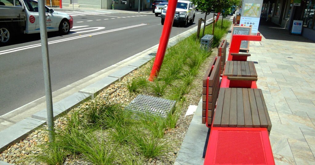
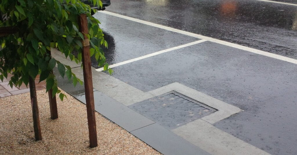
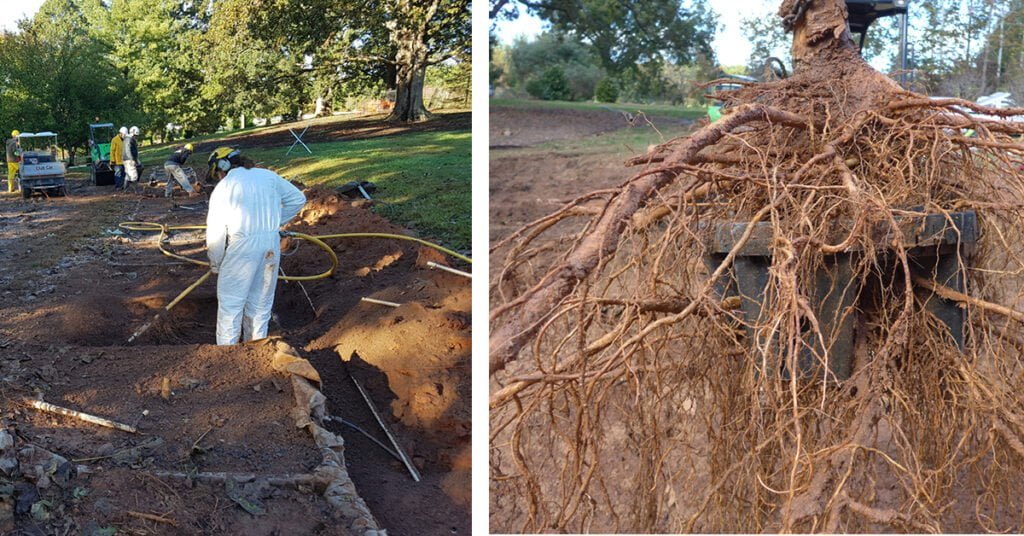
The site sits on the north side of The Queensway in the Stonegate-Queensway area of Etobicoke: two pairs of two trees, four in total, arranged in two belowground systems, tucked into a parking lay-by on a working commercial street. There is no signage. You would walk past it without knowing it is there.
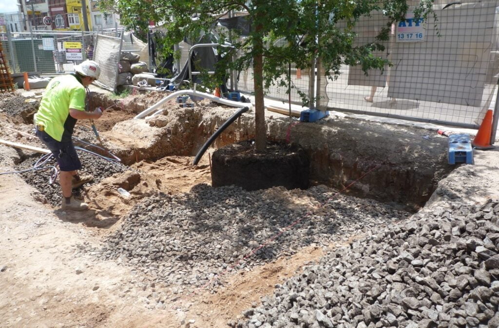
It went into the ground in the autumn of 2008 as a joint proof-of-concept by the City of Toronto and Toronto Water, with Toronto Metropolitan University (then Ryerson University) and the soil-cell manufacturer, installed by contractor Pave-Al in roughly three days. Two City of Toronto engineers drove it: Patrick Cheung, who championed it into the ground, and Peter Simon, who coined the term “tree coffins” for the cramped, compacted pits that kill so many street trees young. Both have since retired.
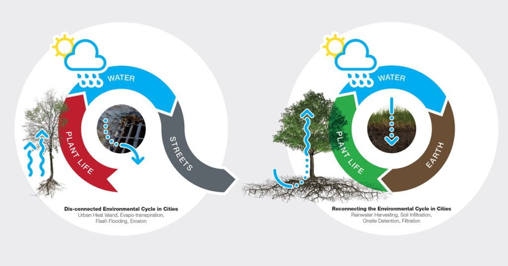
The idea was simple to state and hard to prove: treat the street as the catchment. Instead of sending kerbside runoff straight to the sewer, divert it into the engineered soil under the footpath, so the tree’s rooting volume doubles as stormwater bioretention. The system was then monitored for more than a decade by the Sustainable Technologies Evaluation Program (STEP), a partnership of the Toronto and Region Conservation Authority, Credit Valley Conservation, and the Lake Simcoe Region Conservation Authority, a thirdparty, public-agency program, not a vendor.
That distinction matters. The installation data has long been published. What is far less examined is what eighteen years of a live commercial streetscape actually reveals, and almost nobody is talking about that.
How the system actually works
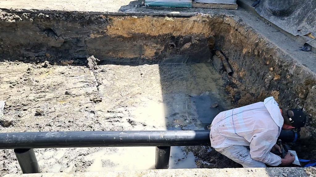
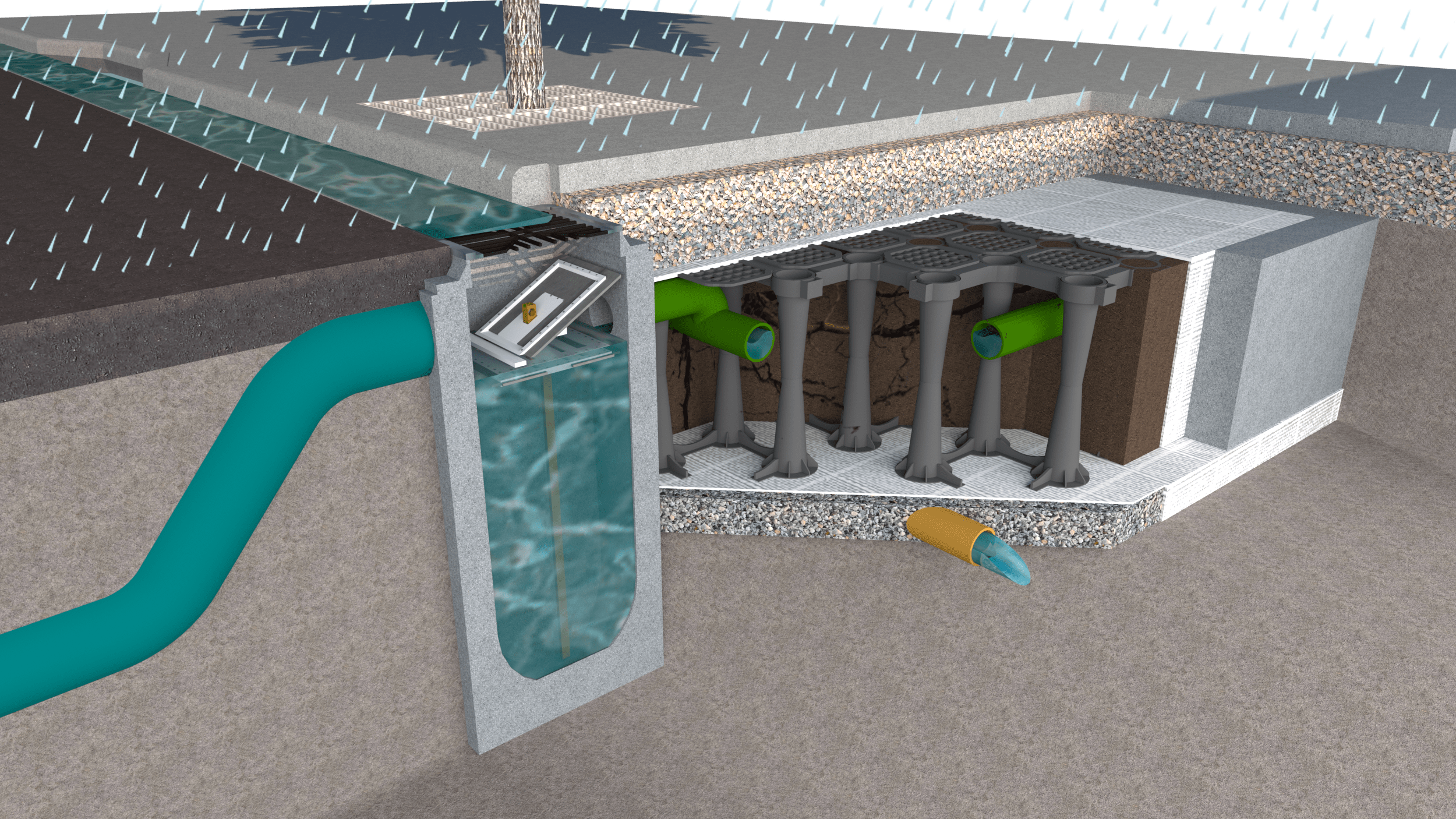
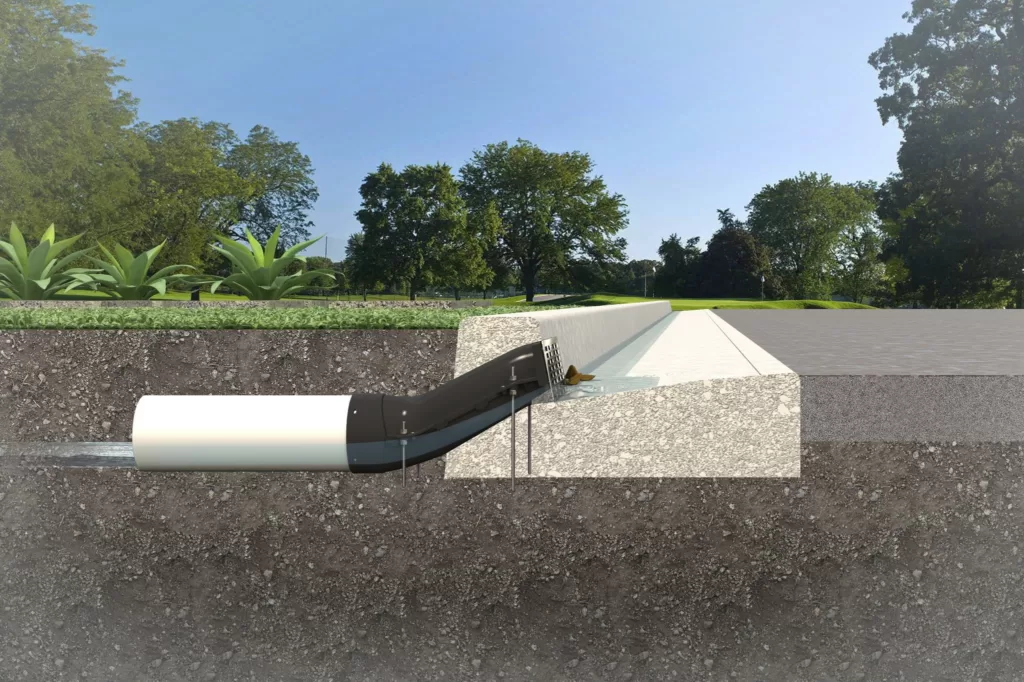
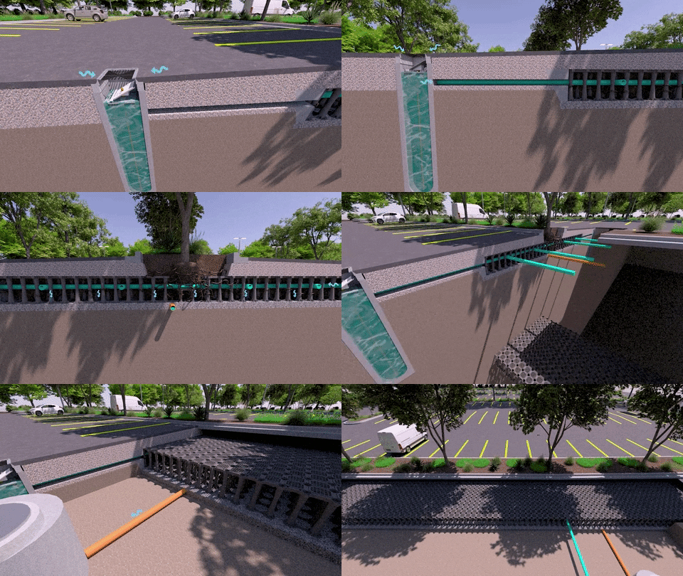
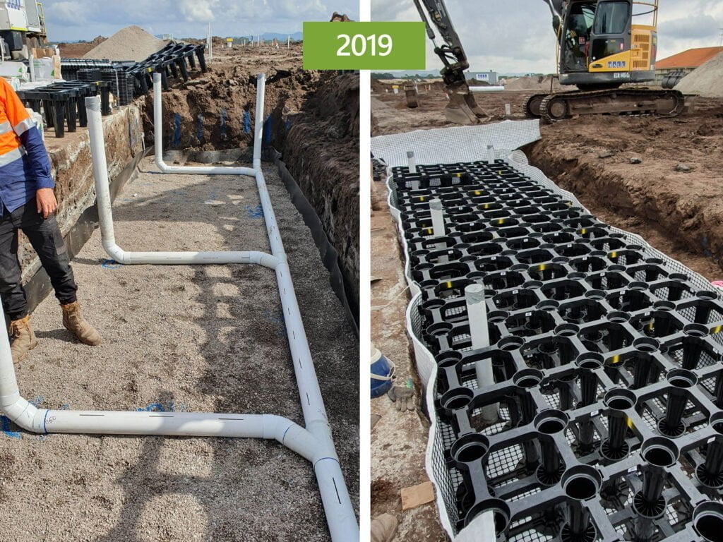
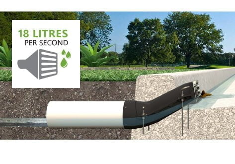
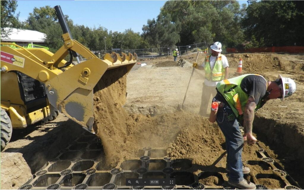
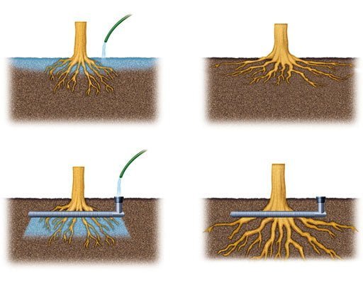
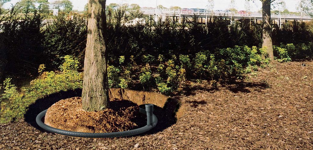
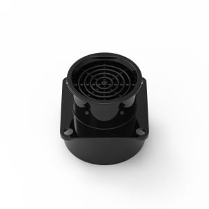
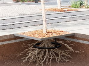
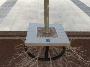
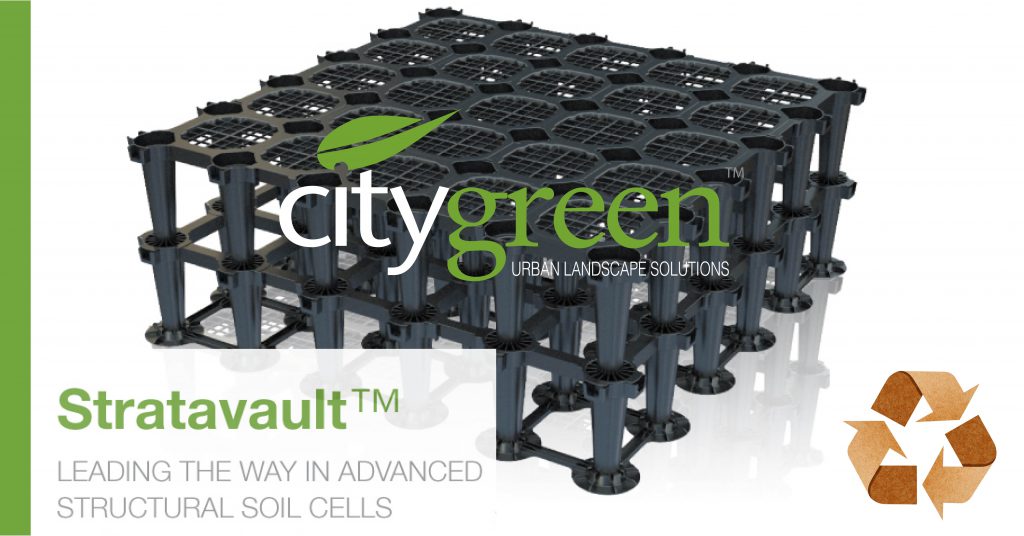
Strip away the novelty, and it is a compact treatment train. Per the published STEP case study and the manufacturer’s documentation, runoff enters a street catch basin, then drops through a 200 mm (8″) pipe into the top of a matrix of structural soil cells , the suspended-pavement approach that carries traffic loads on a frame while leaving the soil below uncompacted.
From the inlet, a perforated distribution pipe spreads the water laterally through the soil. The soil itself is the clever part: a bioretention media with around 20% water-holding capacity, so the rooting volume is the filter media. Water that the soil and roots don’t take up drains to a perforated underdrain and overflows to the storm sewer. Detention and infiltration in one buried package.
The numbers give a sense of scale. Each tree sits in roughly 16 m³ (about 600ft³) of soil, a generous rooting volume by streetscape standards. Across the two systems, there are 52 cells carrying four trees, each system able to take runoff from around 385 m² of road and footpath and sized for a 50 mm / 24-hour design storm. The frames meet AASHTO H-20 loading, so the lay-by parks cars as normal, and the structural components carry a 100-year design life. The surface footprint is close to zero, a real advantage over daylighted raingardens, which consume usable land at street level.
The experiment inside the experiment
The pilot wasn’t just "build it and watch." It was designed as a controlled contrast. The four trees started fully connected to both street and footpath runoff; one pair was later reduced to a lower-water control fed from the footpath only, with a nearby conventional tree pit standing in as the real-world baseline.
That three-way set-up: high soil volume with high water input, high soil volume with low water input, and an ordinary pit is what lifts the site from anecdote to evidence. It isolates the single variable specifiers most want to understand: how much does water input, on top of soil volume, actually change tree performance?
What’s working
Quite a lot, and it shows. A decade of STEP monitoring found that the bioretention soil functioned as a genuine source control, treating runoff, blunting peak flows, and reducing the volume leaving the site while the trees grew. TSS reduction was consistently above 80%, reaching 96% in monitored events. The fully connected trees outgrew the lower-water control, and both comfortably outgrew the conventional pit nearby. More water in the adequate soil produced more canopy. The causal chain, on which the whole approach rests, is soil volume plus water in, canopy and stormwater capture out is visible on the ground.
Two findings are worth dwelling on. Road salt, the great fear of anyone proposing to send street runoff into planting soil, did not wreck the system; the salt load diluted and flushed through the soil column over time. And the buried structure asked very little of the city in maintenance, unlike surface bioretention that needs regular visits for litter and weeding.
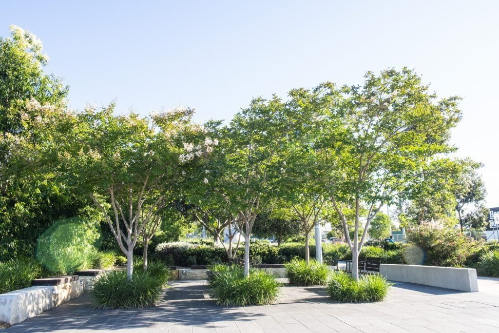
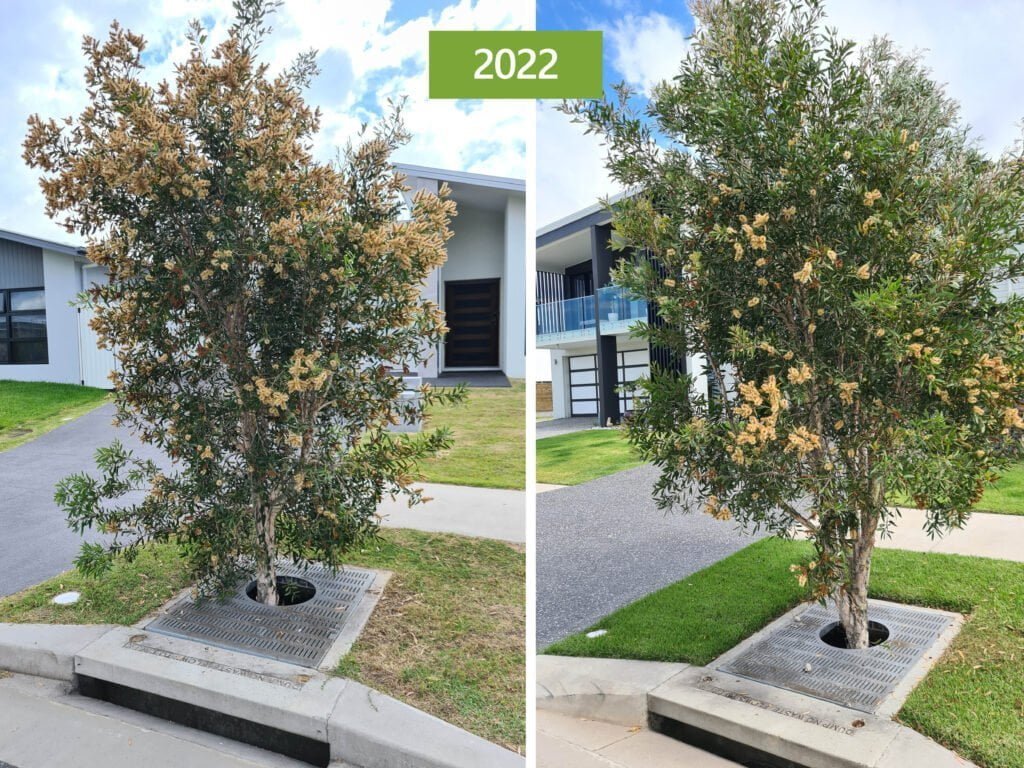
The headline result is standing there in the lay-by: one tree with a canopy spreading something like twelve meters, out past the parked cars and into the traffic lane. On a street like this, that is a lot of shade, interception, and cooling from an asset most people never notice.
What’s missing and what eighteen years reveals
This is where a current site visit earns its keep, because the honest picture is more useful than the glossy one. None of what follows is a failure of the concept; it’s what maturity actually looks like.
The monitoring has gone quiet. The sensing pits that made this a measured experiment are no longer maintained: covers improvised with a cement block in one and a traffic cone in another, the instrumentation inside apparently long dead. The thing that made Queensway valuable, its data, has been allowed to lapse.
Some inlets are now sealed. At least one pair’s catch basins has been concreted over, and others appear heavily silted below the grate. Whether that reflects the planned low-water control arrangement, routine end-of-study decommissioning, or simply deferred maintenance isn’t something the street alone can tell you.
The west system's catch basins were deliberately taken offline prior to monitoring commencing in 2012 — a planned design decision to create the low-water control condition, not deferred maintenance. The east system's inlets remain in place but appear heavily silted below the grate, raising a practical question about whether water is still moving through the system as designed. Either way, what the street shows you from the kerb is ambiguous without the documented record behind it.
One species is thriving; its partner is struggling. Within each pair, the standout tree is a different species from its neighbor, and the weaker one shows the classic stress signals: a thin canopy and a flush of epicormic growth from the base. The two species are American Liberty Elm and Freeman Hybrid Maple, with the Elm being the stronger performer. Same soil, same water, very different results. The gap shows in the trunks as much as the canopies: in the June 2026 photographs, the elm's stem reads as roughly double the caliper of the maple beside it, on the order of an estimated 300–400 mm against perhaps 150–200 mm, though that's a visual estimate from the site, not a measured figure.
Which points the finger at species selection as much as at the system. The street’s planting palette is set out below; matching specific species to the strong and weak individuals in each instrumented pair is the obvious next step.
Planting schedule for the Queensway streetscape. The four instrumented pilot trees are documented in the STEP case study as two American Liberty Elms (Ulmus americana 'Libertas') and two Freeman Hybrid Maples (Acer × freemanii) — one of each per pair. The wider streetscape planting schedule shown above covers the full block and includes additional species; the four pilot trees are a subset of that. The Elm is the stronger performer in both pairs. Whether that reflects stormwater tolerance, salt tolerance, or simply the species' genetic resilience in a Toronto street environment is a question worth carrying into the next pilot.
The surface is showing its age. There’s some kerb and paver displacement at the tree openings, unsurprising for eighteen-year-old infrastructure on a busy lay-by, and worth distinguishing from the classic root-heave that gets healthy street trees removed. Here, the generous below-ground volume is doing its job; the wear is at the surface interface, which is a detailing problem, not a rooting one.
And there’s no institutional memory on display. No plaque, no sign, no obvious owner. A world-first sits anonymously on a suburban high street.
Why does this keep happening?
Queensway isn’t unusual in being forgotten; it’s typical. The pattern repeats because the value of these projects is split across budgets and departments that rarely share a ledger. Canopy and amenity sit with parks and landscape. Stormwater sits with water and civil. A pilot that succeeds on both counts, as this one did, can fall between mandates the moment it needs ongoing care, because no single line item owns it.
Add two structural problems. Monitoring is usually funded for a fixed study window; when the grant ends, the sensors go dark even though the asset keeps performing. And pilots tend to ride on individuals here, two engineers who believed in it. When the champions retire, the knowledge often retires with them. It is a recognizable failure mode in how green infrastructure moves from pilot to standard practice: we are good at building the first one and poor at carrying it forward.
Where the disciplines meet: soil volume as the shared currency
If there’s one concept that dissolves the silo, it’s soil volume. The same cubic meters of engineered soil are, simultaneously, the rooting volume a landscape architect needs for canopy and the bioretention media volume a stormwater engineer needs for treatment and detention. One number, two budgets, two sets of benefits.
Get specific and it gets more persuasive. Void ratio governs how much usable soil a structural system actually delivers under load. Infiltration rate and media composition govern treatment and how fast the system draws down between storms. Detention versus infiltration is a design choice, not a given. These are the parameters where landscape and civil objectives are the same objective and where a project either pays for itself twice or not at all. It’s also why the honest cost-versus-value conversation has to be a lifecycle one, not a day-one capital comparison.
Lessons for the next pilot
Queensway is generous with its lessons if you visit it with open eyes:
Design for the handover, not the ribbon cutting. Decide on day one who owns the asset, where it lives in the maintenance schedule, and how the monitoring survives the end of the study grant. An orphaned asset is a predictable outcome, not bad luck.
Match the species to the water regime. The within-pair divergence here suggests the system can be sound, while the planting palette quietly undermines the result. Species tolerance of periodic waterlogging and road salt is a contributing variable alongside the stormwater connection, not a footnote to it. Species choice deserves the same rigor as engineering, the kind of specification discipline landscape architects bring to planting.
Protect and standardize the instrumentation. If the data is the point of a pilot, the access points and sensors need covers, an owner, and a budget that outlasts the launch.
Keep the record alive. Signage, an asset register, a public case file, anything that means the knowledge doesn’t retire when its champions do.
Eighteen years on, the trees are still making the argument their designers hoped they would. The shame is that so few people know to look.